Call Now
Call Now
Call Now
Time
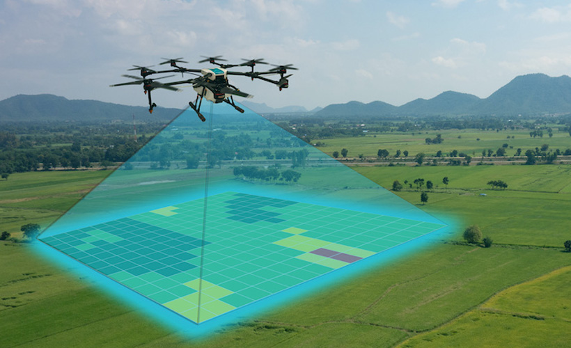
Videography in surveying and mapping refers to the use of video recording technology to capture visual data of the surveyed area or project site. While traditional surveying methods rely heavily on still imagery and measurements, videography adds another dimension by providing continuous footage that can offer valuable insights and context. Here's how videography is utilized in surveying and mapping.
Videography allows for comprehensive documentation of the project site or surveyed area. By recording video footage, surveyors can capture detailed information about the terrain, vegetation, structures, and other relevant features. This documentation can serve as a valuable reference for future analysis and decision-making. Video footage enables surveyors to conduct visual inspections of the site in real-time for during post-processing. This can help identify potential issues, anomalies, or areas of interest that may require further investigation. For example, video footage can reveal changes in landscape features, erosion patterns, or construction progress over time.