Call Now
Call Now
Call Now
Time
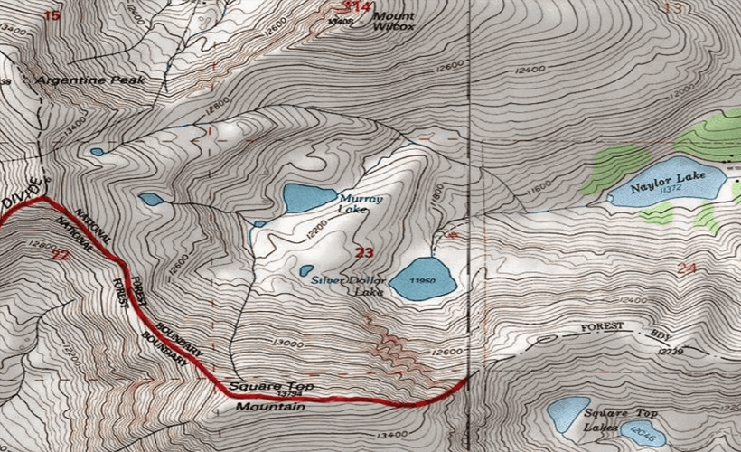
Contours are imaginary lines. These lines connect points of the same value. A contour map generally shows different contours such as the elevation or even the temperature contours. Contours are the lines on a map that join the same height. The Contour interval refers to the variation in height, example the contours are drawn at every meter.
Contour lines on a map basically illustrate the height of a distinct place. This also helps us to obtain information regarding the steepness of the slopes, which is along the direction of the land that is sloping.
The contours here form patterns representing how steep the slopes actually are. The closer the contour lines are stuck together; the steeper is the slope.With this result, we can study the relief of the land; whether this is a valley, a mountain, a valley which has a flat floor, also we can study if the valley has a stream, or not, or is it around the cone-shaped hill or a hilltop.